A historic winter storm threatens to disrupt travel and daily life for millions of Americans. Forecasters predict snow, ice, and freezing rain across much of the country starting Saturday.
The storm will initially strike the Central Plains Saturday night, move into the Ohio Valley on Sunday, and reach the Mid-Atlantic by late Sunday or early Monday.
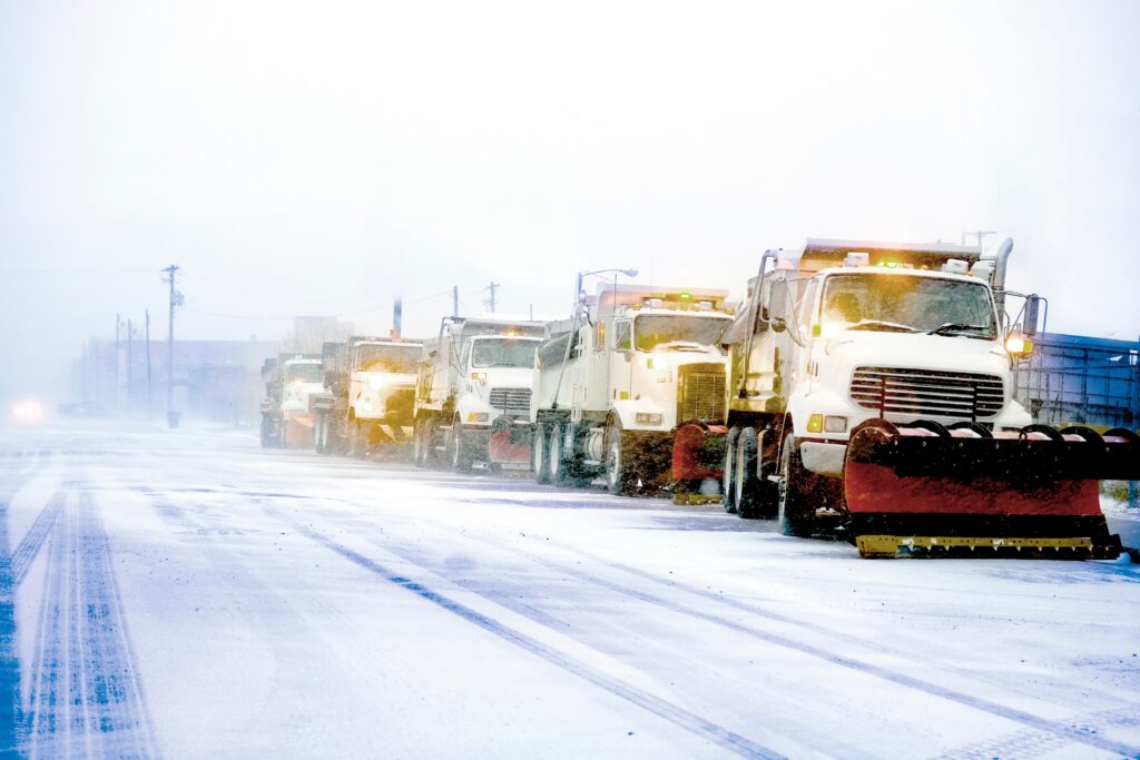
Heavy Snowfall and Dangerous Travel Conditions
Northeastern Kansas and north-central Missouri may receive over 15 inches of snow, marking the heaviest snowfall in over a decade for some areas, according to the National Weather Service (NWS). Indiana and central Kansas will see at least 8 inches of snow, while eastern Kansas, the Ozarks, and the Ohio Valley face dangerous sleet and freezing rain.
Blizzard conditions with wind gusts over 35 mph are expected in the Central Plains, making travel hazardous or impossible. “Whiteout conditions will pose a high risk of stranded motorists,” the NWS warned.
The Central Appalachians will experience freezing rain and ice, increasing the likelihood of power outages. Snow totals could reach 1 to 2 feet in parts of New York and Pennsylvania, where lake effect snow warnings are in effect. Winter storm warnings and advisories stretch from western Pennsylvania to Maryland, affecting over a dozen states.
Millions Under Winter Weather Alerts
As of Saturday afternoon, tens of millions are under winter storm alerts:
- Winter storm warning: 32.5 million people, including areas from Kansas to Virginia.
- Winter weather advisory: 14.6 million people in Montana, the Dakotas, Nebraska, Kansas, Colorado, and nearby states.
- Winter storm watch: 11.7 million people in Mid-Atlantic states like Maryland and Delaware.
These alerts signal varying levels of severe weather, from 6 inches of snow in 12 hours to significant ice accumulation.
Travel and Safety Concerns
Travel delays will likely span from the Central Plains to the Ohio Valley. Forecasters urge drivers to check conditions before traveling. In the Central Plains, whiteout conditions will make roads impassable. Eastern Kansas, the Ozarks, and Ohio Valley regions may experience fallen trees and power outages from ice accumulation exceeding one-quarter inch.
Prolonged Cold and Power Risks
Following the storm, bitterly cold temperatures will persist, keeping snow and ice on the ground for days. Temperatures will drop 10 to 20 degrees below normal next week, with single-digit overnight lows in some regions.
AccuWeather predicts colder-than-average conditions from the Rockies to the Appalachians. Power outages could exacerbate the situation as brutal cold grips affected areas. “This prolonged cold will make recovery efforts more challenging,” the NWS in St. Louis warned.