Satellites are becoming powerful tools in tracking environmental changes that affect human health. By monitoring air quality, extreme weather, and disease risks, they help protect people and improve public health.
The European Union’s Copernicus programme is leading the way in Earth observation. It collects and analyzes environmental data to find links between environmental changes and human health. The Copernicus Health Hub, managed by the European Centre for Medium-Range Weather Forecasts (ECMWF), focuses on these connections.
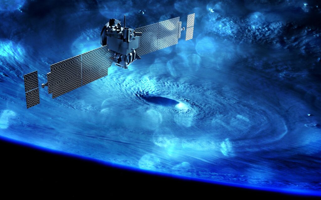
From tracking air pollution to warning about heatwaves, satellites provide crucial data to improve global health. Here are five ways they are making a difference.
1. Monitoring UV Radiation to Prevent Skin Cancer
Too much ultraviolet (UV) radiation is dangerous. It increases the risk of skin cancer, sunburn, and eye diseases like cataracts.
The World Health Organization (WHO) developed the UV Index to measure UV radiation and its effects. The Copernicus Atmosphere Monitoring Service (CAMS) tracks and forecasts UV levels using satellite data. It measures ozone concentration, cloud cover, and airborne particles. This allows scientists to predict UV intensity up to five days in advance.
Weather apps use this data to warn users about dangerous UV levels. They offer advice like using sunscreen, wearing hats and sunglasses, and staying indoors during peak hours. These alerts help people reduce their risk of skin damage and related illnesses.
2. Air Pollution Alerts for Safer Breathing
Air pollution is one of the world’s biggest health risks. The WHO estimates that seven million people die from air pollution every year. Long-term exposure can lead to respiratory diseases, heart conditions, and pregnancy complications.
Satellites and meteorological models work together to provide real-time air quality forecasts. Platforms like BreezoMeter and Windy use this data to alert people about pollution levels. Those with asthma or other conditions can take precautions, like avoiding outdoor activities when air pollution is high.
In 2023, satellite data showed dangerous pollution levels in many major cities. During wildfires in Canada, smoke traveled across North America, affecting millions of people. Air quality alerts from satellites helped residents stay informed and take protective measures.
3. Tracking Pollen Levels to Help Allergy Sufferers
Pollen allergies are a growing issue, affecting nearly 40% of Europeans. Climate change is making the problem worse by increasing pollen levels and extending allergy seasons.
CAMS tracks pollen from plants like birch, grass, and olive trees across different regions. It provides forecasts up to four days in advance. This helps allergy sufferers plan their activities and take medications as needed.
Scientists are also studying how pollen interacts with air pollution. This data helps health experts understand how environmental factors make allergies worse and find better ways to protect people.
4. Predicting the Spread of Mosquito-Borne Diseases
Mosquitoes spread deadly diseases like malaria, dengue, and chikungunya. Rising temperatures and changing weather patterns allow mosquitoes to move into new areas. Some species, like the Asian tiger mosquito, have already expanded into Europe.
Satellites help track mosquito-friendly conditions such as temperature, humidity, and standing water. The Copernicus Service uses this data to predict where mosquitoes might spread. Health officials can then take action, such as spraying insecticides or warning the public.
A study found that the Asian tiger mosquito could continue spreading across Europe until at least 2085. Monitoring and early warnings from satellites will be key in controlling the spread of these insects and the diseases they carry.
5. Heatwave Warnings to Prevent Health Emergencies
Extreme heat is a growing threat. It can cause heatstroke, dehydration, and heart problems.
Copernicus data shows that August 2023 and August 2024 were the hottest Augusts on record. Climate change is making heatwaves more frequent and severe.
Satellites help scientists track temperature trends and predict future heatwaves. City planners use this data to make cities cooler. They add more green spaces and improve ventilation to reduce heat in urban areas.
The Flemish Institute of Technological Research is using satellite data to model heat-related deaths. Their research helps policymakers prepare for future heatwaves and protect vulnerable populations.
How Satellites Are Changing Public Health
Satellites provide real-time monitoring and predictions to protect people from environmental health risks. They help track UV radiation, air pollution, heatwaves, pollen, and mosquito-borne diseases. This information allows governments and individuals to take preventive action.
As climate change continues, satellites will become even more important in protecting global health. With ongoing advancements, they will help scientists and policymakers create better strategies to keep communities safe.
For more updates on environmental Science & Technology, visit Financial Mirror.